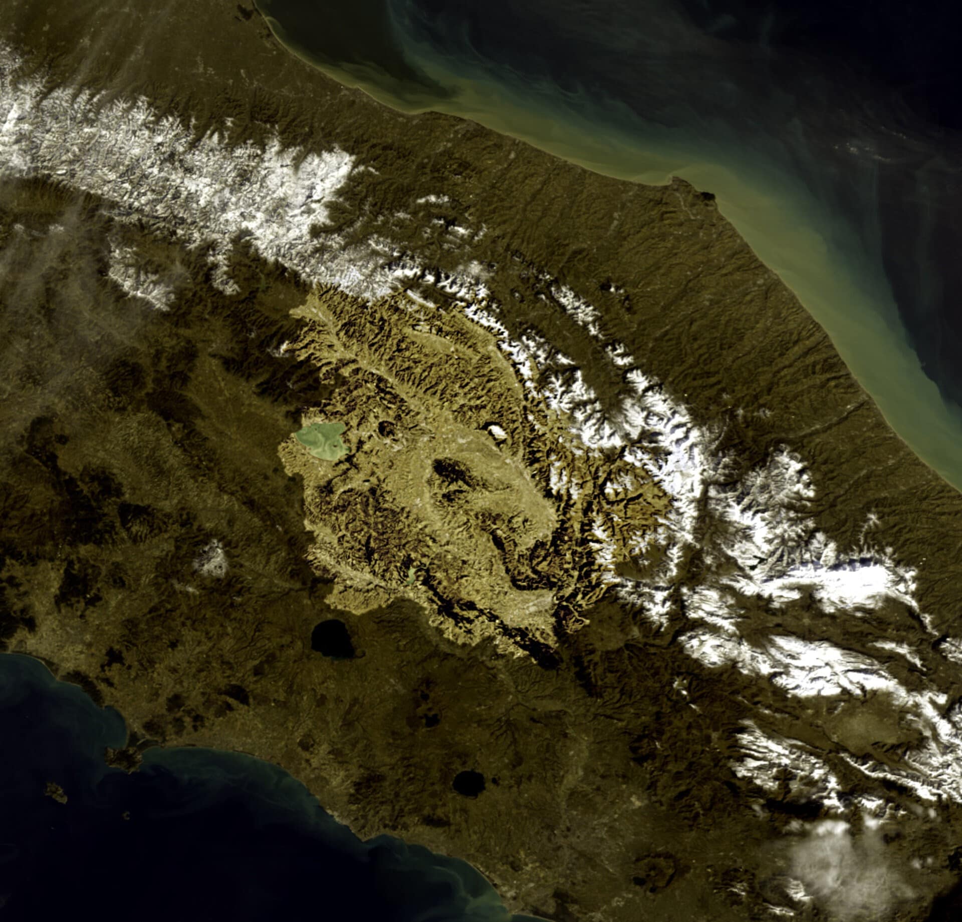
In recent years, satellite technology has changed the way this region is observed and analyzed. Instruments such as Copernicus’ European Sentinel mission provide images updated every few days, allowing us to monitor environmental change, land use, and vegetation conditions with previously unimaginable precision. However, sophisticated methods are needed to interpret the vast amounts of data generated, and traditional mapping is often static and untimely.
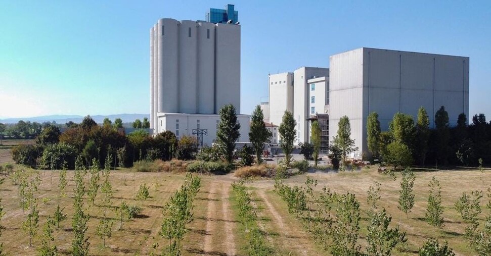
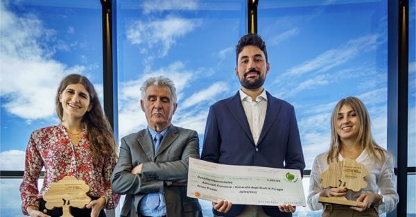
And it is in this context that the paper of Francesco Antonielli, master’s student in Agricultural and Environmental Sciences at the University of Perugia, won the first prize in the second edition of the call for proposals “Agugiaro & Figna Molini SpA SB”, promoted in cooperation with CISA, the national interuniversity consortium for environmental sciences. The call, dedicated to the technology and digital sector, aimed to celebrate scientific research and sustainable innovation born from new generations of talent, and recognized the best master’s theses for the academic year 2023/2024 from courses in the fields of environment, agriculture, forestry, engineering, statistics and mathematics at universities in the three regions where Aggiaro & Figna has mills: Emilia-Romagna, Umbria and Veneto. Next year, attention will instead be focused on university projects related to the world of business administration and economics.
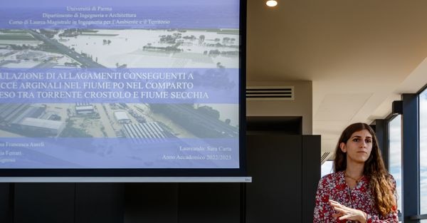
“Antonieri’s paper entitled Classification of the Land Cover of the Apennine Region of Umbria using Google Earth Engine and Sentinel 2 and Sentinel 1 Satellite Data was judged to be very accurate with a competent data collection and processing work able to provide a classification and evaluation of the Apennine region so that both pasture and forest areas can be increased in a completely correct way.CISA But I would like to point out that thanks to this competition, which is already in its second edition, we have built an archive of about 40 papers dedicated to agroecosystems and forests. Anyone wishing to see the paper can request it from CISA, which manages the University of Parma’s endowment. This year, Alessandra Calta’s paper entitled Simulation of flooding caused by the bank burst of the Po River in the region between the Crostro and Secchia rivers made an impression. The environmental crisis that has caused casualties and damage in Emilia-Romagna in recent years and in the past has become a hot topic. It is highly specialized, with important computational and operational tools, and has been very useful for regions where predictive models have already been successfully applied. Special mention was also given to Giulio Massaro’s study on the feasibility study of the establishment of protected areas for the protection and enhancement of the Pesareline Dolomites in Friuli Venezia Giulia and Veneto. The study of natural parks is of great interest in the precise use of IT and digital tools with the possibility of safe application in territorial and future planning, and Natalia Mazza’s geospatial machine learning for the classification of irrigated agricultural plots It is for precision agriculture, which knows how to use which increasingly scarce resources,” says Rosanna Figna, a graduate of the Faculty of Agriculture, director of Bosco del Molino and the initiator of the scientific project to be carried out on the vacant land. From 2021.
Inserted as a validation part of a broader research project, Antonielli’s paper serves as the basis for the realization of an interactive web platform that represents the operational evolution of the research, a tool to perform analyzes of grassland nutrient status and productivity, enabling farmers to access the platform to identify optimal areas and optimize grazing management more efficiently.
Mr. Antonielli explains: “The thesis work, carried out with the support of Professor Marco Vizzarri from the Faculty of Agricultural, Food and Environmental Sciences of the University of Perugia, involved creating a detailed map of the land cover of the Umbrian Apennines, distinguishing between forests, grasslands, shrublands, cultivated lands and artificial land surfaces. Particular focus was on the most vulnerable habitats, such as grasslands, which have undergone significant retreat in recent years. For this purpose, we used Sentinel satellite data, Google Earth Engine We used advanced analytical platforms such as , and machine learning models. These allow us to transform large amounts of data into useful information for fast and accurate interpretation of the territory. The main objective was to assess the reliability of these tools when surveying the territory. The idea was particularly given the increasing need for continuous, economical and objective monitoring of the territory. Traditional surveys are complex, expensive, and rapidly changing, so understanding these dynamics requires tools that can detect even the smallest changes. This approach, based on satellite data and advanced analytics, therefore overcomes the limitations of traditional mapping and provides a dynamic and up-to-date reading of the area. The sensitivity to this subject demonstrated by scientific realities such as CISA confirms that these tools remain limited to theory, but serve very specific needs related to the environment in research and regional dialogue.”

