
Chico, California — Walnut growers in northern California may soon have a new tool to help estimate crop yield and assess orchard health, thanks to a Chico State University research project that combines drone imagery and artificial intelligence.
Researchers at the university are testing whether aerial drone photography and machine learning models can provide more accurate and objective estimates of walnut production. The project is led by the Chico State California Mechatronics Center and uses models developed by university students.
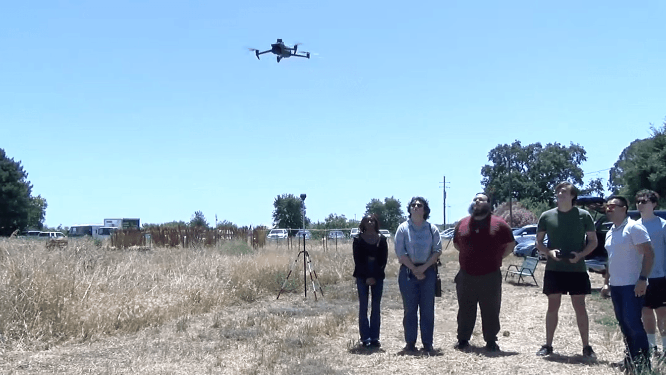
During a demonstration at the university’s farm, researchers flew a drone about 400 feet above the walnut orchard to capture high-resolution images. The images were then processed using a machine learning model that identified and counted visible walnuts and mapped the distribution of walnuts across the orchard.
“We are working with the California Walnut Commission and the Agricultural Research Institute on the project,” said Josh Miranda, director of the California Mechatronics Center. “We’re basically counting the walnuts in the orchard and trying to create a heat map that shows the distribution of walnuts throughout the orchard.”
Miranda said that while remote sensing itself is not new, the project’s approach centers around machine learning models built in partnership with Chico State University’s computer science department.
“Remote sensing has been around for a very long time. We’re not reinventing the wheel,” Miranda said. “The novel part of our project is the machine learning model we created to process the images, locate the walnuts in the orchard, and provide that information to the grower.”
To train the AI, researchers teach it to distinguish between walnuts and tree crowns. The system can then assign geographic coordinates to each detected walnut and overlay that data onto a map of the individual orchard.
“Growers and orchard managers go out to the orchard and look at the trees and count them by doubles and triples to determine if it’s going to be a good year,” Miranda says. “This allows the grower to have an objective perspective. Instead of the grower sitting there with a clipboard and counting every nut, this system essentially does that job for the grower.”
The project currently focuses on approximately 550 acres of orchards in Glenn, Tehama and Butte counties. The researchers said they hope to expand the study throughout California, including the San Joaquin Valley’s major walnut-growing region.
Miranda said advances in drone technology have made tools like this more accessible.
“Drone technology has really advanced in the last few years and the barrier to entry has lowered,” he said. “More people are learning how to fly drones, and more people are being able to process the data they capture.Whether this year, next year or 10 years from now, this technology will advance to the point where it will be useful to most producers.”
—
Please correct or report typos.


