Agricultural grazing systems cover approximately a quarter of the Earth’s surface, and accurate estimation of the amount of available forage is critical to livestock productivity, land condition, and livestock longevity.‑Period sustainability.
However, pasture measurements have traditionally relied on manual sampling and field-based assessments, which can be time-consuming, costly, and difficult to scale up.
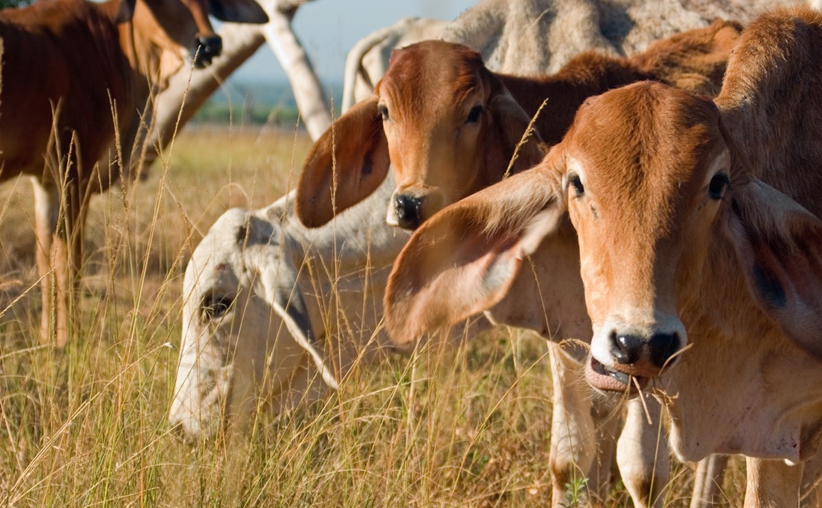
While satellites and other remote sensing approaches have helped expand widespread monitoring, high-resolution terrestrial digital photography is one approach that can be used to calibrate existing systems, while also revealing new fine-scale features such as species mix and quality.
To this end, Australia’s national science agency, CSIRO, has partnered with Google Australia and Meat & Livestock Australia Limited (MLA) to launch the global ‘Kaggle’ challenge to accelerate the use of AI in agriculture.
Winner of Image2Biomass Prediction Competition was announced, and China’s Bufuliou team took first place with an approach that adapted to changing conditions and improved accuracy.
Participants were challenged to train a machine learning model to estimate grass biomass directly from images using data collected across different regions, seasons and grass types in Australia.
The winning team demonstrated that the advanced model can learn and reliably extract meaningful information from images, such as the amount of plant material, including grass and other vegetation, available for livestock to graze, even under changing conditions.
This approach supports the transition from widespread monitoring to targeted, site-specific management that pinpoints where fertilizers and other interventions are needed.
With a total prize pool of US$75,000, the competition attracted nearly 100,000 model entries from nearly 14,000 registrations from 109 countries, highlighting the strong global interest in applying specialized data science to real-world agricultural challenges.
CSIRO Senior Principal Scientist Dr Dadong Wang said the results were an important step forward for CSIRO. Agricultural research, environmental monitoring and sustainable land management.
“In a short period of time, our competitors have tested a wide range of approaches and refined their models in a variety of ways, resulting in significant improvements in how to accurately predict forage levels across different regions, seasons, and pasture conditions,” Dr. Wang said.
“The winning solutions demonstrate that reliable results can be achieved using relatively small amounts of data, making these tools practical for real-world agricultural environments where conditions are constantly changing.”
Rather than building solutions tailored to individual locations or seasons, the winning team focused on ensuring the system could work in a variety of environments by recognizing meadow patterns and capturing plant details in images, such as dead grass or small clover leaves. This approach helped maintain prediction reliability even as landscapes, weather conditions, and pasture composition changed.
MLA Group Manager Science and Innovation Michael Lee said the results highlighted the growing opportunity to support producers with better information.
“An accurate understanding of the amount of forage available and forage composition is fundamental to grazing management,” Mr Lee said.
“The approach demonstrated through this competition points to future tools that can reduce reliance on manual measurements and provide growers with faster, richer insights to support day-to-day decision-making.”
Google Australia’s Head of Partnerships Scott Riddle said the competition demonstrated the value of bringing together research, industry and the global technology community.
“By bringing together CSIRO’s scientific expertise, MLA’s industry knowledge and the global Kaggle community, this challenge demonstrates how partnerships can help bridge the gap between research and practical solutions,” Mr Liddle said.
CSIRO will now analyze the winning approaches in detail to inform future research and development, and work with industry partners to explore how the most promising methods can be translated into practical and scalable pasture measurement tools.
This research was supported by FrontierSI (formerly known as the Joint Center for Spatial Information Research).
The winning teams of the Image2Biomass prediction competition are:
- China’s Bufudoryo team took a novel approach by treating the available feeds as a counting problem rather than a simple estimation, allowing the model to adapt to new conditions and improve the accuracy of unseen data.
- The Vietnamese team dino series focused on understanding where forage appears in images, estimating its spatial distribution, and using simulated environmental variations to enhance performance.
- The US team embee prioritized robustness by combining multiple models into one system, reducing overfitting and providing more consistent results across highly variable datasets.