
As climate change, aging housing stocks, and rising rebuilding costs reshape the global insurance market, insurers are turning to new technologies that can provide clearer property-level risk assessments.
One company that is seeing increased interest is Israel-based GeoX.AI, which develops artificial intelligence models that can extract detailed structural information from aerial photography, satellite photography, and street-level imagery.
Founded in 2018 by Itzhak Lavi, Eli Lavi, and Guy Atar, GeoX uses multiple forms of remote sensing, including 3D reconstructions from high-resolution aerial photography, commercial satellites, and ground imagery to generate detailed representations of individual buildings. The system identifies aging roofs, exterior deterioration, vegetation encroachment on structures, debris buildup, fencing damage, and other conditions known to increase vulnerability to fires and storms.
Similar tools exist in the geospatial and insurtech fields, but GeoX differentiates itself by fusing datasets that are typically analyzed separately, giving insurers a more complete picture of a property and its surroundings. This output is not a replacement for traditional underwriting, but rather a structured visual dataset that insurers can use to assess exposures, pricing policies, or portfolio risk.
GeoX has since expanded to the United States, Europe, Japan, and Australia. Its technology is used by insurance and reinsurance companies such as Munich Re and SOMPO, as well as banks and public institutions. In the United States, the company's data supports post-disaster assessments conducted by FEMA, where quickly identifying property conditions is critical for relief and reconstruction planning.
The company recently entered into a partnership with Mitsui Sumitomo Insurance, a member of MS&AD Insurance Group, Asia's largest insurance group. The companies plan to analyze tens of thousands of homes across Japan, starting with a pilot project in Hokkaido.
Japan faces a particularly challenging environment for non-life insurance companies, with frequent typhoons, increasing damage from wildfires, millions of aging buildings, and a rapidly increasing number of vacant homes due to a declining population. These trends are leading to increased losses and higher premiums. Under the new initiative, homeowners will receive a visual report documenting conditions that can impact fire spread and structural durability, and Sumitomo Mitsui will use that information to set risk-based pricing and identify opportunities for preventive maintenance.
Demand for detailed building-level intelligence is growing globally as climate-related losses grow and traditional underwriting practices that rely on regional hazard maps and historical claims data are increasingly seen as inadequate. GeoX is one of several companies trying to fill that gap by standardizing property condition data across the market for use in underwriting, risk scoring, or claims management.
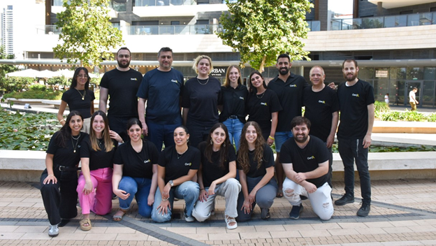
GeoX has raised $23 million and employs 33 people across multiple geographies. As the broader insurtech sector faces upheaval, the company's collaboration with Sumitomo Mitsui reflects how geospatial AI is moving into mainstream insurance operations. For insurers, these tools highlight a broader shift towards greater visibility into the condition of real estate as a way to manage risks from climate change and build more resilient portfolios.

