Each year, SpaceNews selects the people, programs, and technologies that have had the most impact on the direction of the space industry over the past year. Our annual celebration, which began in 2017, recognizes significant achievements in business, where ambitions don’t seem unattainable. This year’s winners of the 8th Annual Space News Icon Awards were announced and celebrated at a ceremony Dec. 2 at the Johns Hopkins University Bloomberg Center in Washington, DC. Congratulations to all the winners and finalists.
Clouds cover two-thirds of the Earth’s surface at any given time in the Earth’s mid-latitudes, where most economic activity occurs. As a result, when Earth observation satellites scan the Earth’s surface to collect images over large areas, or point their cameras at specific locations, they often produce images obscured by clouds.
Earlier this year, NASA Jet Propulsion Laboratory demonstrated a method that could help solve that problem. A research experiment called dynamic targeting showed that the satellite could monitor forward along its orbit and analyze the results before collecting images.
“We believe that in the future, all space missions will operate this way,” Steve Chen, principal investigator for dynamic targeting at JPL, said in a 2024 talk at Northeastern University’s Experiential AI Institute.
Dynamic targeting promises to make satellites more flexible and efficient, its leaders said. Satellite sensors combined with AI algorithms trained to spot thermal anomalies could command cameras on the same or other spacecraft to zoom in for a closer look at potential wildfires or volcanic eruptions. Similarly, customized algorithms could help satellites uncover deep convective ice storms that cause heavy precipitation, turbulence, and lightning.
“We’re looking for specific things that we’re interested in,” Chien said in an interview. “We don’t just take pictures of everything. That’s a big change.”
Researchers began assembling the building blocks of dynamic targeting more than a decade ago. But making it work required advances in artificial intelligence and space-based edge processing.
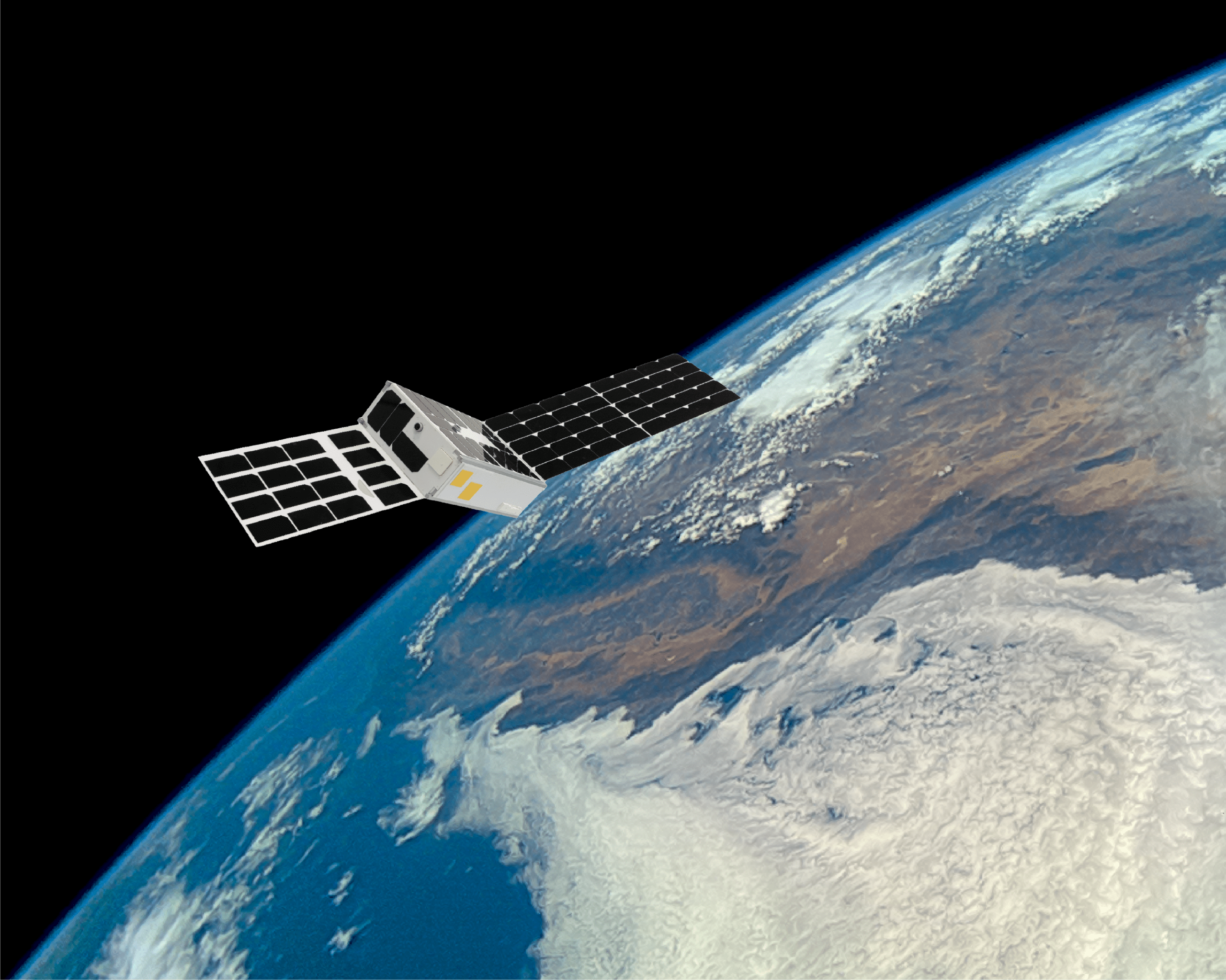
The demonstration came about when JPL began collaborating with British startup Open Cosmos and Irish startup Ubotica Technologies. In July, a hyperspectral sensor on Open Cosmos’ CogniSat-6 scanned the horizon before the Ubotica payload ran the JPL algorithm to identify clouds and figured out how to rotate the sensor to collect cloud-free images.
Time was of the essence as the satellite was at an altitude of 500 kilometers and was flying above the ground at a speed of 7.5 kilometers per second. To accurately point the camera, the dynamic targeting algorithm also takes into account the Earth’s rotation and curvature.
“You have to interpret the image, extract the information, find a way to orient the instrument, and collect data within 50 to 90 seconds,” Chien says.
Further complicating the demonstration was that there was only one sensor. JPL’s original concept for dynamic targeting called for a satellite with a look-ahead sensor and a second downward-facing sensor. CogniSat-6 was equipped with a single camera, so it checked to see if there were clouds ahead and then turned to look down, to the left, or to the right.
“This is true satellite autonomy,” said Aubrey Dunne, co-founder and chief technology officer of Ubotica. “It’s like a satellite collecting data, making decisions on its own without human involvement, and acting on those decisions.”
This article first appeared in the December 2025 issue of SpaceNews Magazine.