A groundbreaking study published in Nature Communications reveals a new approach to measuring the United Nations Human Development Index (HDI) around the world with unprecedented spatial resolution. Researchers have developed a methodology that leverages the integration of satellite imagery and advanced machine learning techniques to transform traditional, coarse-grained, national-level HDI data into high-resolution, detailed estimates that can capture changes in human development at regional scales. This innovation not only represents a major advance in social science analysis, but also opens new avenues for policy-making, humanitarian intervention, and sustainable development monitoring.
The Human Development Index is a comprehensive index created by the United Nations Development Program that combines indicators of income, education, and life expectancy to assess and rank countries based on their level of human development. Although the HDI is one of the most influential and widely used indicators in the world, solutions at the nation-wide level obscure important disparities within countries, especially between urban and rural areas or marginalized communities. New methodologies address this limitation and enable stakeholders to visualize and quantify socio-economic and health-related inequalities with clarity previously unattainable.
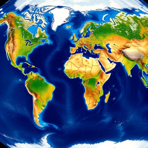
At the heart of this innovative research is the use of Earth observation satellite imagery, which provides a rich repository of visual data on physical and anthropogenic features around the world. High-resolution images of built infrastructure, vegetation, nighttime lighting, and land use patterns provide the raw material for analysis. These visual indicators serve as proxies for various socio-economic parameters. For example, bright night lighting often correlates with electrification and economic activity, and road networks reflect accessibility and urban development.
To transform complex satellite data into meaningful human development indicators, researchers employed sophisticated machine learning algorithms. By training the model on known HDI values for countries with robust ground truth data, the algorithm learned to associate specific visual features with development outcomes. These predictive models were then applied worldwide to produce spatially continuous HDI estimates at much finer geographic scales, reaching granularity similar to neighborhood-level assessments in many regions.
The application of machine learning in this context is particularly noteworthy for its ability to handle the heterogeneity and high dimensionality of satellite data. When faced with such vast and complex datasets, traditional statistical approaches falter. In contrast, the adaptive nature of machine learning models allows them to capture nonlinear relationships and interactions between multiple variables, increasing predictive accuracy and robustness. This feature has allowed authors to overcome long-standing data scarcity and quality issues that are prevalent in many parts of the world.
One of the surprising discoveries made possible by this high-resolution HDI mapping is the discovery of deep within-country disparities that remain hidden by national averages. For example, countries that were previously classified as moderately or highly developed may still have areas of deep poverty hidden behind aggregate statistics. Conversely, parts of advanced development may coexist among countries classified as low HDI, highlighting the mosaic of development realities and highlighting the importance of tailored policy interventions.
These new maps not only reconstruct existing knowledge in more detail, but also provide a dynamic tool for tracking progress towards the United Nations Sustainable Development Goals (SDGs). Policy makers and international organizations can use them to identify priority areas, optimize resource allocation, and monitor the impact of development programs in near real time. The spatial precision provided by the convergence of satellites and machine learning is particularly valuable given ongoing global challenges such as urbanization, climate change, and socio-economic shocks.
Additionally, this study demonstrates the transformative potential of integrating geospatial technologies and social science metrics in an era defined by the proliferation of data. This sets a benchmark for future research aimed at transforming remote sensing data into actionable intelligence that addresses human well-being and equity. The open-access nature of data and methods further democratizes development monitoring and fosters transparency and collaboration across academic, government, and civil society domains.
Although the current work focuses on HDI, the underlying framework can also be adapted to other composite indices and development indicators. Possibilities include poverty indices, health vulnerability assessments, and educational attainment measurements, all of which could benefit from the increased resolution and timeliness provided by satellite data. This adaptability signals a broader paradigm shift in how large-scale human developmental phenomena are measured, moving from static, aggregated datasets to dynamic, high-resolution, data-driven insights.
The researchers faced several technical challenges, including harmonizing satellite data from different sensors, accounting for seasonal and regional variations, and mitigating bias introduced by cloud cover and urban anomalies. Their approach included a rigorous preprocessing pipeline, ensemble learning techniques, and cross-validation protocols to ensure reliability and validity of the estimates. Such careful engineering highlights the interplay between computational ingenuity and domain expertise required to achieve meaningful outcomes.
Importantly, this study also acknowledges ethical considerations related to data privacy and responsible use of geospatial information. Although aggregated satellite data avoids direct personal identification, it remains a priority to ensure that the resulting development maps are used to support vulnerable people without prejudice or discrimination. The authors advocate an inclusive governance framework that enables local communities to interpret and act on the insights gained from such technologies.
Its influence extends beyond academic curiosity. Real-world applications are imminent. Humanitarian organizations can use these maps to more effectively deploy emergency relief by identifying the most affected and underserved populations after natural disasters and armed conflicts. Similarly, urban planners can strengthen community development strategies by recognizing infrastructure gaps and education needs. The convergence of satellites and machine learning is therefore a catalyst for fair and efficient development interventions.
In the future, continued advances in satellite technology, including higher temporal frequencies and spectral diversity, are expected to further increase the granularity and timeliness of human development assessments. When combined with breakthroughs in artificial intelligence, such as federated learning and explainable AI models, these estimates become more interpretable and accessible, promoting trust among stakeholders. This synergy aligns well with global ambitions for data-driven policymaking in the digital age.
In summary, the pioneering research published by Sherman, Proctor, Druckenmiller et al. represents a paradigm shift in the quantification of human development around the world. By combining high-resolution satellite imagery and cutting-edge machine learning, we have visualized key socio-economic indicators at a local scale for the first time. This technological advance not only reveals hidden disparities, but also provides humanity with actionable knowledge to promote global development equity and represents a transformative step towards more inclusive and informed governance.
The open source release of their dataset and methodology will encourage the global scientific community to build on and refine this work, ensuring an evolutionary and collaborative effort to map the nuances of human development. As such, this initiative sets out a visionary blueprint for integrating Earth observation and machine intelligence into sustainable development analysis. This is a timely achievement in a world increasingly defined by data and digital tools for humanity.
Research theme: High-resolution spatial estimation of the United Nations Human Development Index using satellite imagery and machine learning.
Article title: Global high-resolution estimates of the United Nations Human Development Index using satellite imagery and machine learning.
Article references:
Sherman, L., Proctor, J., Druckenmiller, H. et al. Global high-resolution estimates of the United Nations Human Development Index using satellite imagery and machine learning. Nat Commun 17, 1315 (2026). https://doi.org/10.1038/s41467-026-68805-6
image credits:AI generation
Toi: https://doi.org/10.1038/s41467-026-68805-6
Tags: Advanced Spatial Analytics for Policy Making Sustainable Development Monitoring with AI Detailed Socio-economic Inequalities Visualization Earth Observation for the Social Sciences Granular Spatial HDI Estimation High Resolution Human Development Index Mapping Local-scale Human Development Measurement Machine Learning in Socio-Economic Analysis Urban-Rural Development Gap Mapping Satellite AI for Humanitarian Intervention Satellite Imaging for Human Development United Nations Human Development Index Innovation